the talk of the town
Europe wants all coffee coming into the continent to come from land that is not deforested. What is admirable is that it is a reflection of a growing global consciousness. There is a growing realization that reforesting the world is one of the main plights of our time, so much so that all the scientific research and activism has finally reached the stuffy and bureaucratic upper echelons of the EU. But, the worst way to stop farmers from deforesting isn’t by ceasing to trade with them and make them even more reliant on alternative sources of income such as illicit crop production, mining or simply moving away to cities (slums). Instead we decided to see this law as an opportunity to promote the cornerstones of our business model: relationships and transparency.
We have three pillars that we are expanding on:
We partnered with 52Impact and created an algorithm that can measure deforestation accurately. That was tested on Colombia and we are gathering all the coordinates of all our other partners to scan their land too, with their consent of course. We want to show that if you buy traceably from partners (of all sizes) you can rely on, getting this done is cheap, fast and easy.
No excuses for Big Coffee.
There can be 50 reasons why someone cuts down forest and we have to be receptive to all of them. Even if it means going to court once the legislation is enforced, we will not stop buying from our partners just because they cut down some trees - before listening to them.
If you can measure deforestation, you can measure reforestation as well. We will increase our regenerative premiums to whoever can show more canopy and if our partners want, help them get access to the carbon market (that we are ambiguous about to say the least).
this is the methodology we follow:
-
We need the geolocation of all our partners to scan for deforestation. We work with different organizational structures across the 14 countries - cooperatives, small holders, estates, farmer groups. Modelling a one fit for all methodology was out of the question.
Madhu (our community outreach and impact colleague) worked with each of our 14 partners to develop a specific plan for documenting the geolocation. For our partners in India, Brazil, Ethiopia, Nicaragua, Kenya being estates, it was straightforward to give us the polygons. The others had to go into the field and record the GPS (probably for the first time ever) using different applications like whatsapp, google earth and other free applications where you can record coordinates.
Madhu received this information through whatsapp messages, emails and excel sheets. These were compiled and sent to 52impact for the analysis.
Colombia was the first origin in the This Side Up network to start collecting GPS coordinates of it’s partners. Last year in July 2023, Madhu (Community outreach and impact) visited Juan Pablo for the field barista project, she was able to support Juan Pablo in documenting these coordinates. They visited all the farmers and recorded their coordinates, not without explaining the upcoming EUDR. Farmers were willing and cooperative throughout the process. Juan and Madhu used an app that allowed them to measure the latitude, longitude and altitude. This data was then sent to 52impact for further analysis. The algorithm detected deforestation for Jesus Ceron and Eider Ceron and Maria Argote. These reports were sent to Juan Pablo and he discussed with them the reasons for deforestation. Road expansion forced these farmers to clear parts of their land for it to happen. Since Colombia has passed a bill that is strict on environmental crimes resulting in jail time.
In Kenya, we work with 7 estates all over 4.5 hectares. Earlier in 2024, TSU was on the origin trip to Kenya and visited all the partner farms. During this trip, Madhu shared in great detail with them about EUDR and what was expected from them. Thereafter, all the partners sent polygons of their estates directly to Madhu via whatsapp. Out of the 7 partners, there were a few cases of deforestation detected with women who work with Rosebella. The community washed lot is from XX smallholder women who rely on coffee for a part of their income. Currently Rosebella and her husband are investigating the reasons for deforestation in these said farms. They have developed an app specifically for traceability and digital payments which they were able to use to document the GPS coordinates of these women. Other partners in the Sakami portfolio used google maps to document their location and there were no signs of deforestation detected for them.
In Indonesia, we work with 7 farmer groups. All of them are either part of a cooperative or are interested to organize themselves into one with time. They are all smallholder farmers concentrated in the specific areas across Indonesia. Adri Yahdiyan, (founder Ontosoroh coffee) visits these farmers yearly to plan for the harvest. In 2024, during his visits, with these farmer groups, he collaboratively documented the locations of the main coffee growing areas in which these groups operated. He piloted this approach with ASNIKOM cooperative and 52impact detected deforestation in a few places. Using this preliminary study, ASNIKOM deep dived into creating a full evidence based document to explain the reasons for the said detection. Now, the geolocations for the rest of the partners have also been sent to 52impact for analysis. A similar collaborative, evidence based approach will be followed to understand any discrepancies.
We work with two estates in Ethiopia - Limmu Kossa and Sheka. They were able to share the polygons via whatsapp which was sent to 52 impact for further analysis.
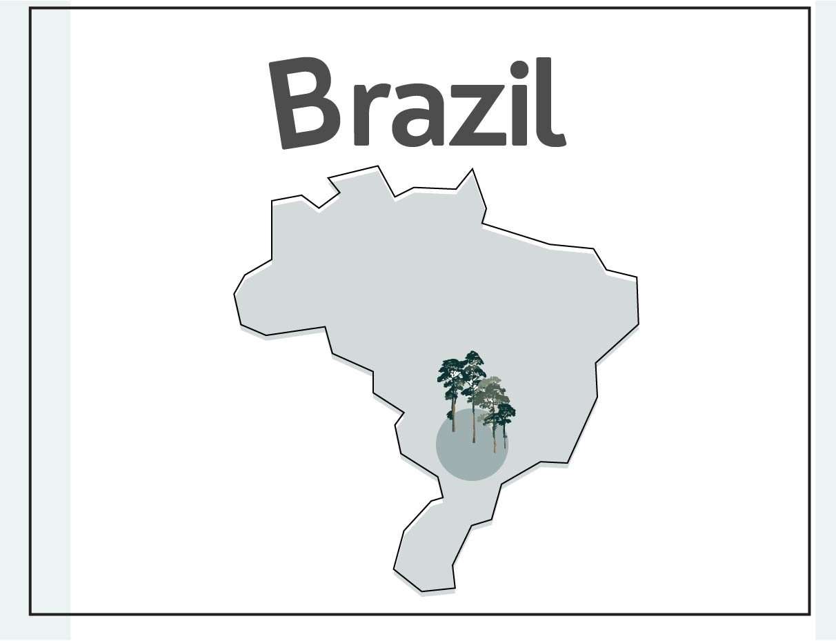
We work with 2 Fazendas and 2 collectives in Brazil. Wesley Costa, the agronomist of Capricornio was responsible for sharing the coordinates for all of our Brazilian partners. Since he is regularly in the field interacting with partners, he was able to map their GPS directly on google earth. He sent this to us as KML/KMZ file which was shared with 52impact. Based on the analysis done by them, there was no deforestation detected for any of our partners. Further, Capricornio has several accreditations to their name including carbon neutral (their commitment to mitigating their carbon foot printing and championing sustainable businesses) and I-rec (excellence in renewable energy procurement and use) making them great examples to their network locally.
We work with 4 farmer groups in Tanzania all of them being smallholders. Earlier during the origin trip, it was possible to explain to each of these farmer groups about the EUDR. They had several concerns and fears regarding the impact of the regulation on their everyday lives. They were also worried about the trees they cut in the past and what they were allowed to do in the future with such a law in place. Frank Mlay from Wanza and Madhu debunked these myths in that trip. Frank and his colleague visited each of these farmers individually and collected their GPS coordinates via the google maps feature on Whatsapp. Since all the farmers owned less than 4.5 hectares, it was easier to record just one pair of coordinates from the center of their respective farms. These were sent in bulk to 52impact and further analysis revealed no signs of deforestation for any of our farmer partners.
We work with a cooperative in Peru with 280 producers. All of them are organic certified and as part of that process, the cooperative had all of their GPS coordinates. There were 4 detections of deforestation and it was because they renovated their farms to plant newer coffee trees. Churupampa runs a lot of programs for their members that focus on achieving circularity in the value chain. They are working on several projects that could improve the quality of the soil. Using the regenerative premium, they are going to implement production of mountain microorganisms in plant fertilizer, to generate a higher quality product (fertilizer) that promotes sustainable agriculture, efficient use of organic waste by applying circular economy principles.
Zombo works with 15 microstations and we buy from 7 of them. For the EUDR compliance, they are working with Meridia verify as part of a program from Rabo Bank. Currently they have completed documenting the geolocations for over 2500 farmers (half of their total number) and are in the process of completing the rest before the year ends. This geolocation will then be sent to 52impact for further analysis.
The political situation in Myanmar is adverse. The 2024 harvest/export process were met with several challenges including forcefully recruiting farmers for the army, bombing of several villages in the Hoppong area and landslides. This made it difficult to collect the geolocation from the field. Instead we advised Khun Kyaw (founder Indigo Mountain) to use the google earth for plotting the geolocation.
In India we work mainly with estates and one smallholder community (Srirangalli). Akshay who is the co-founder of SICC directly sent us the required coordinates after conferring with all the TSU farmer partners. The analysis from 52impact detected deforestation for Krishnagiri estate and Srirangalli community. The land at Krishnagiri estate was split into two for inheritance. Himu( founder) had to build a drying yard and place for his employees to stay. This was the main reason for clearing some portion of his land and felling his trees. As far as Srirangalli is concerned, SICC doesn’t work with all farms in that built. Since deforestation was detected, Komal will investigate and verify for the farmers who work with SICC. Karnataka state laws and Forest conservation Act 1980 both foster protection of forests and preservation of biodiversity making it fairly difficult to commit environmental crimes.
In Rwanda, we work with two cooperatives - Rushashi and Intango. Rushashi has over 2000 members out of whom 223 supply to This Side Up every year. The cooperative is both Fairtrade and Organic certified which makes collecting the geolocation of all the farmers a standard procedure. Abakundakawa Rushashi has 10 field officers who work closely with the farmers located across the XX villages. These field officers were responsible for collecting the geolocation of these farmers.
We work with a cooperative called RAEK in Congo. It has close to 2000 members. They used the app developed by techno serve to collect geolocations for all of their members to comply with EUDR.
We work with 5 estates in Nicaragua and they were all able to send their polygons directly to Madhu via whatsapp. 52impact analyzed these polygons and there were no cases of deforestation detected.


